![Survey drawing of lot [outlined in red] described in Deed description](https://ihfmesrtggjwnhkkettk.supabase.co/storage/v1/object/public/archive-public/hptbc/images/006/100001041-3.JPG)
Description
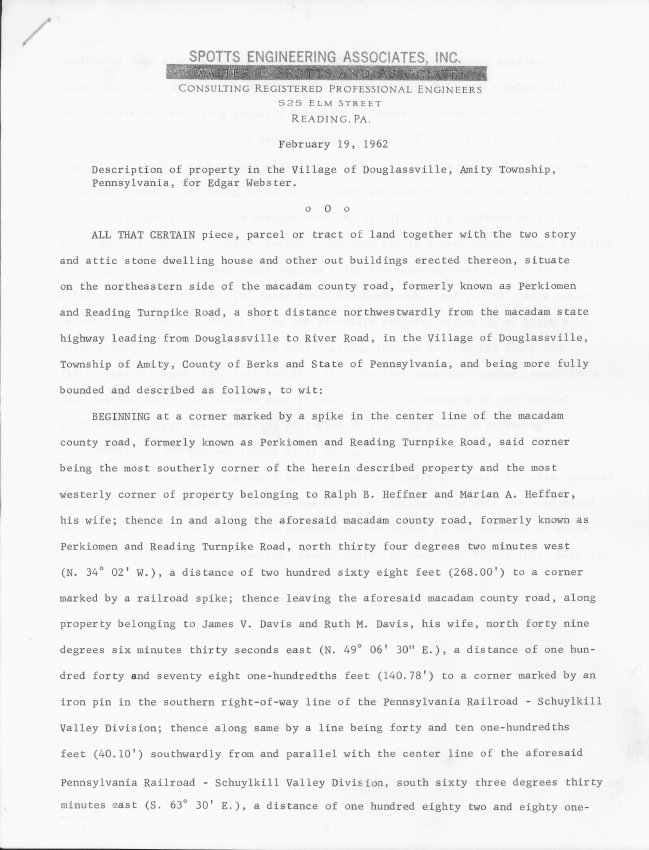
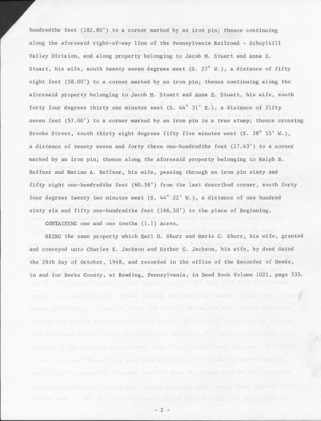
Two-page letter/report describing in detail the position and length of the property lines in addition to the size of the land parcel for the the Mouns Jones House as surveyed by Spotts Engineering Associates, Inc., Reading, PA.
Image shown is of first page only. See IMAGES for second-page text.
The relative locations of the Mouns jones House and Michael Fulp House are not perfectly aligned. Scale is imprecise, but dimensions are considered reasonably accurate.
Adjoining land to the northwest, extending to the stone abutment pier for the railroad bridge crossing the Schuylkill River, was later conveyed to the Historic Preservation Trust of Berks County by Salvage Engineering Co.
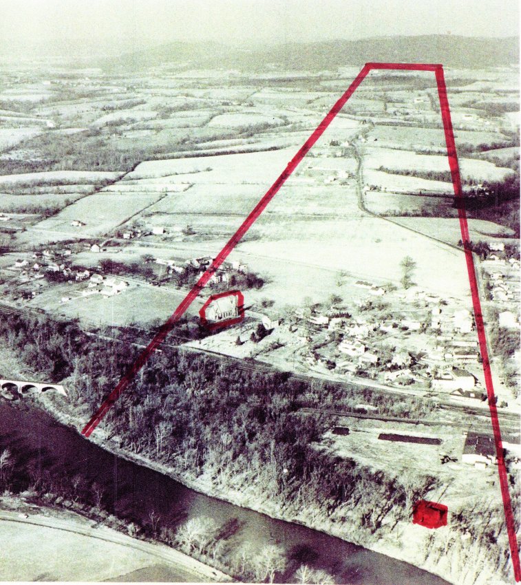
c. 1960 aerial photograph showing [in red outline] the approximate boundaries of Mouns Jones's original patented tract of nearly 500 acres within the "Swede's Tract", extending from the Schuylkill on the south to today's Route 562 ["Boyertown Pike"] on the north. Note: Mouns jones House is solid red; St. Gabriel's Church is outlined in red.
Laurence Ward, 2010, and update Sept, 2020
Catalog details
- Catalog number
- 1000.01.041
- Alternate number
- MJHTXT3
- Accession number
- 1000.01
- Date
- February 19, 1962
- Creator
- Spotts Engineering Associates, Inc.
- Object name
- Report
- Record type
- Archive
- Classification
- Documentary Artifact