Description
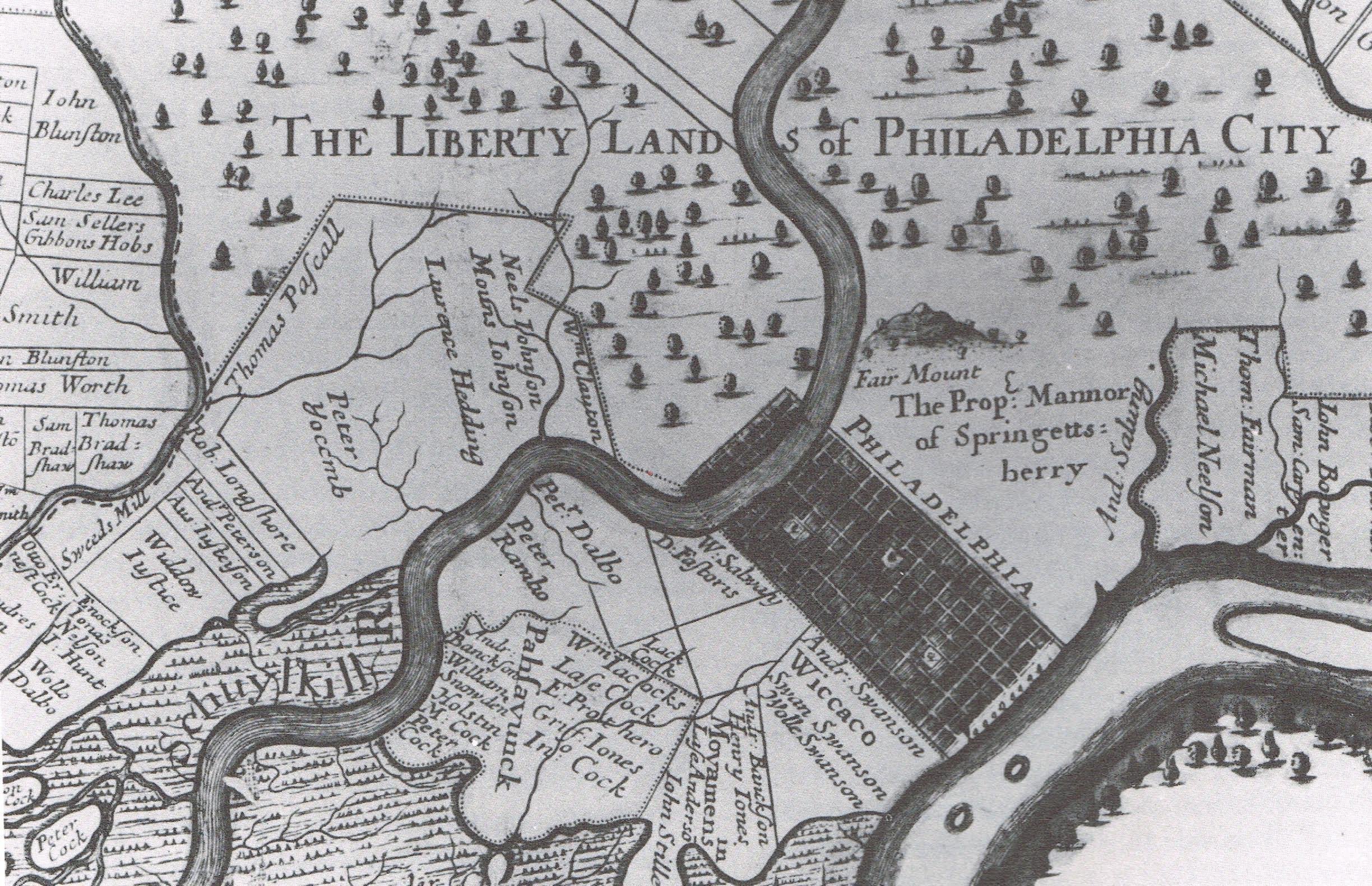
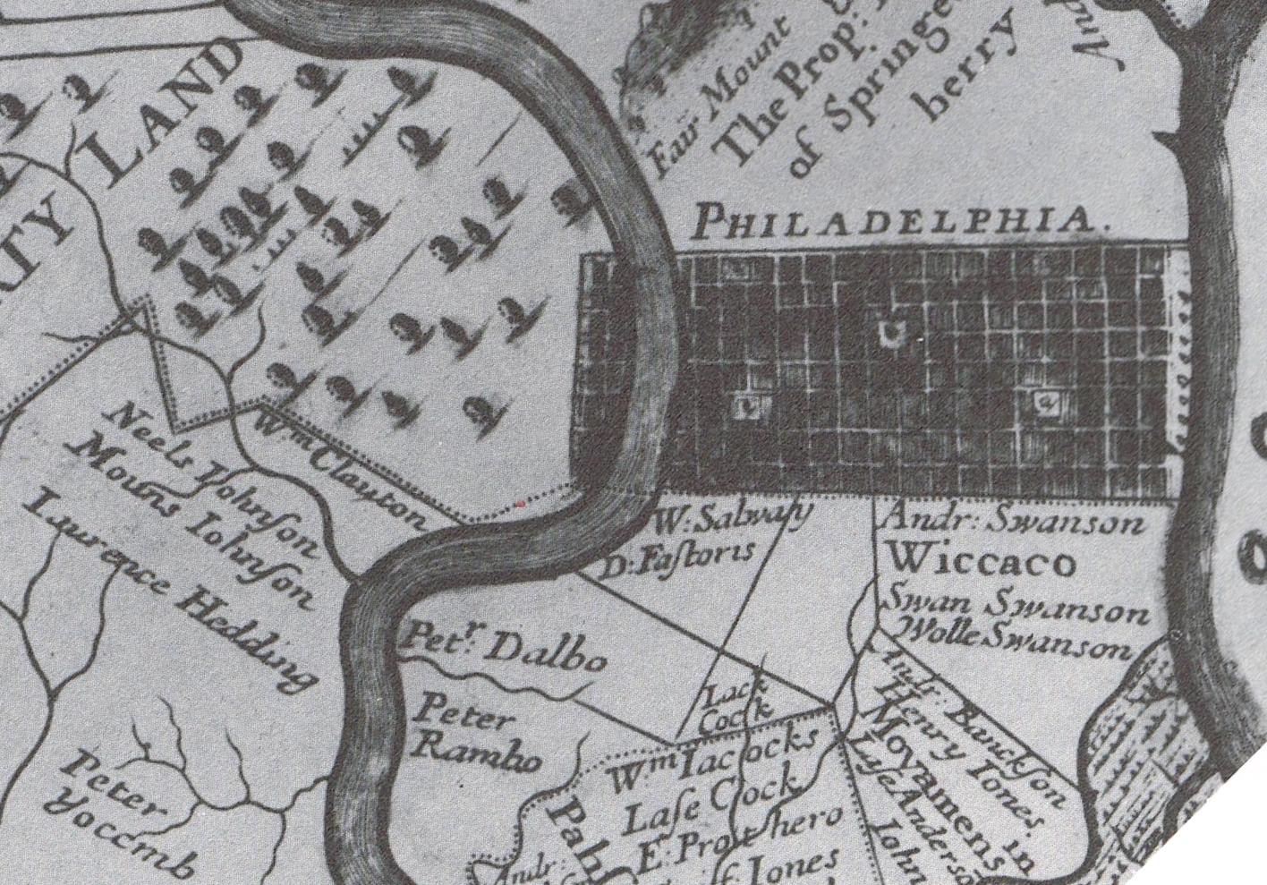
c. 1688 Thomas Holme’s map of Pennsylvania, showing the land of “Mouns Johnson” (Mouns Jones) west of the Schuylkill River, in Kingsessing, near Cobb’s Creek. Under his father Jonas Nilsson’s Will of 1693, Mouns inherited an additional 100 acres [see record MJTX1]. This map is held in the collections of the Historical Society of Pennsylvania, Philadelphia, and is reproduced in William Penn and the Founding of Pennsylvania, 1680-1684, A Documentary History, Edited by Jean R. Soderland, and Richard S. Dunn and Mary Maples Dunn, on page 337.
Catalog details
- Catalog number
- 1000.01.118
- Alternate number
- MJTXT9
- Accession number
- 1000.01
- Date
- 1687
- Creator
- Thomas Holmes
- Object name
- Map
- Record type
- Archive
- Classification
- Documentary Artifact