Description
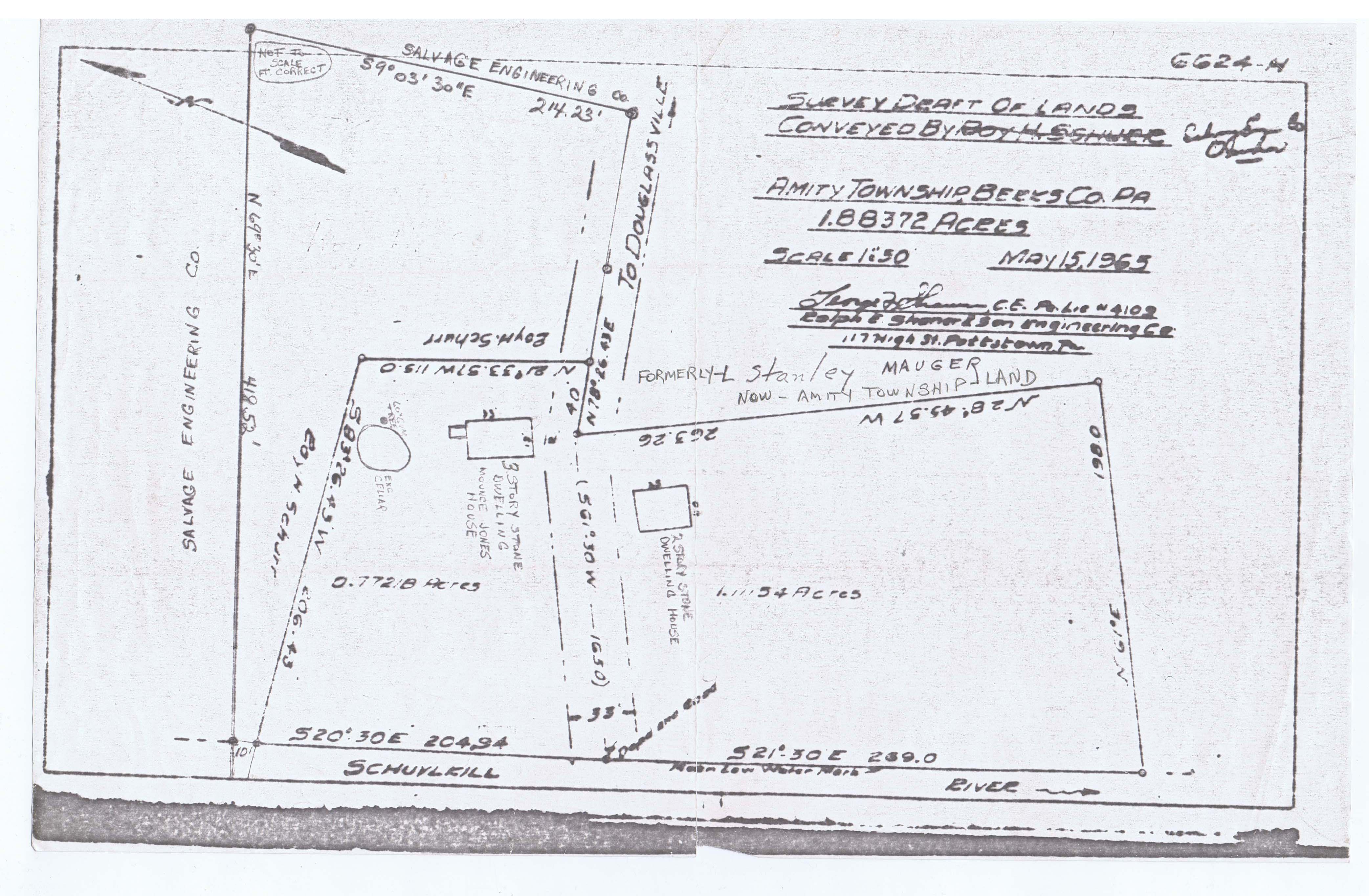
A c. 1966 surveyor's line drawing of the boundaries of the Mouns Jones tract and the adjoining parcel with a "stone dwelling house" now identified as the Michael Fulp House, c. 1784, with courses and distances between found corners. This land and the 2 stone dwellings had been conveyed to the Historic Preservation Trust of Berks County in the mid-1960s. The land to the north along the Schuylkill River was subsequently granted to the Trust by Salvage Engineering Co.
Catalog details
- Catalog number
- 1003.01.173
- Alternate number
- MVDWG2
- Accession number
- 1003.01
- Date
- 1966
- Object name
- Drawing
- Record type
- Archive
- Classification
- Art