Description
Series of 6 digital photos showing restoration of the early grade south of the Jacob Keim House; a field notes drawing of the elevations of this area before re-grading, with commentary, appears in record KR11FN1--1002.01.087.
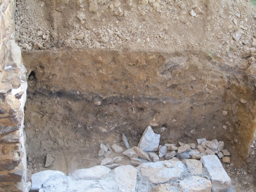
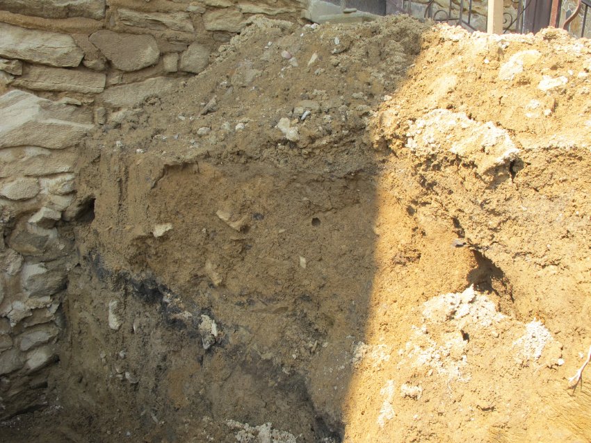
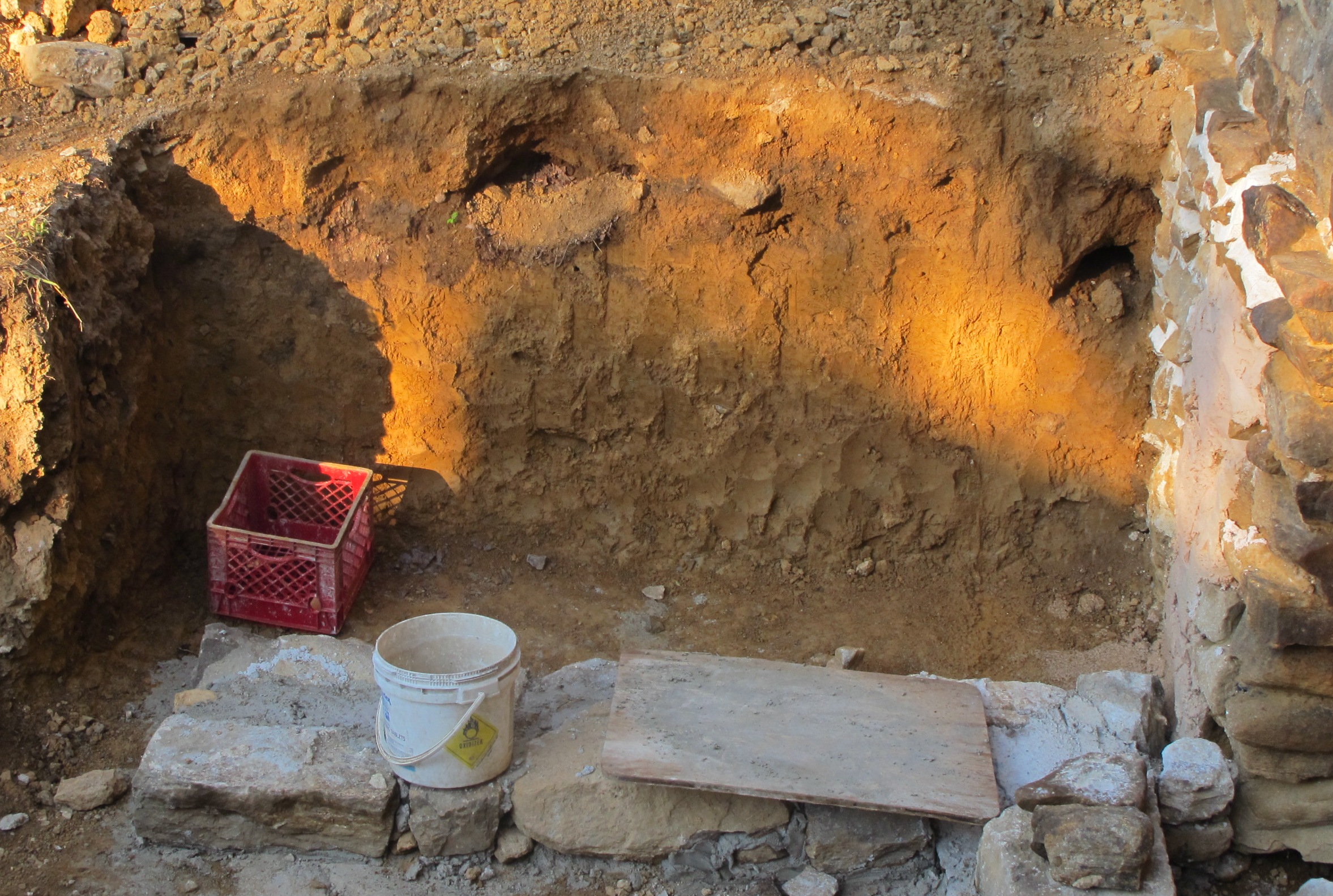
Removal of the 20th-century porch [see archive record KR11PH3] uncovered a mixture of soil and gravel in-fill between the stone piers which supported the porch. Excavation of this "over-burden" exposed a thick layer of light-amber colored local clay. At a depth of approximately 18 inches below the top of the coarse foundation plinth east of the cellar doorway is a thin, dark layer of soil sloping toward the south, reaching a depth of 2 feet below the plinth elevation at a distance of seven feet from the foundation wall [Image #1, photos #4943, 8/2/11 and Image #2, 5158, 8/8/11. This sub-grade soil layer is slightly shallower on the west side of the cellar-way excavation [Image #3, photo #4942]. Its depth and pitch, extended toward the east, aligned with the dark soil-band east of the cellar-way, are consistent with the west-to-east down-slope of the grades [early and modern] along the south foundation wall.
Although it is possible that the dark soil band delineates a topsoil layer existing after construction and occupancy of the stone farm house in 1753, this sequence seems unlikely for at least three reasons:
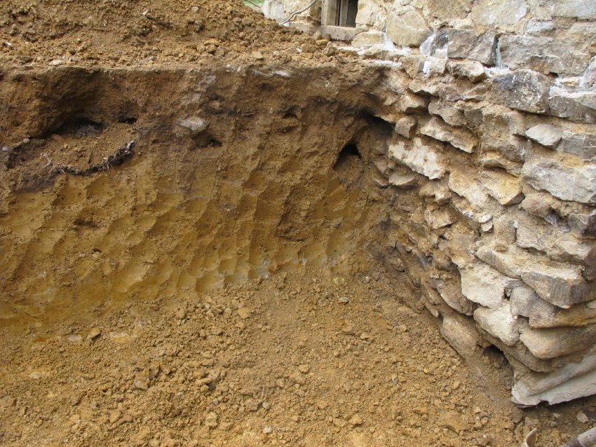
(a) A post-construction grade at the lower elevation would have visually exposed approximately 18 inches of coarse foundation stonework above grade [see Image #4, photo #4858, 7/28/11, and note the dark soil layer visible in the clay west of cellar entry steps]. Such "rubble" masonry, not even roughly dressed, was probably not intended to be seen. The exterior plinth stonework was apparently laid directly against the earthen perimeter of the cellar excavation and aligned without regard to establishing a plumb exterior wall-plane (because it would be concealed behind the raised grade)
(b) The lower grade at the buried pre-occupancy "topsoil" depth would have situated the first floor kitchen ["kuche"] door-sill approximately six feet above ground level, requiring a stairway of approximately nine steps ["risers" and "treads"] to the threshold. This arrangement would have presented a significant climb to the primary doorway in the principal façade and the southern exterior access to an undoubtedly busy kitchen. This hypothesized staircase would have extended at least seven feet out into the kitchen-yard
(c) Exterior excavation in recent foundation stabilization projects revealed no evidence of a work-trench outside the exposed foundation wall segments, indicating that the sub-grade foundations were probably built from inside the cellar excavation, partially explaining the absence of a relatively regular exterior wall-plane.
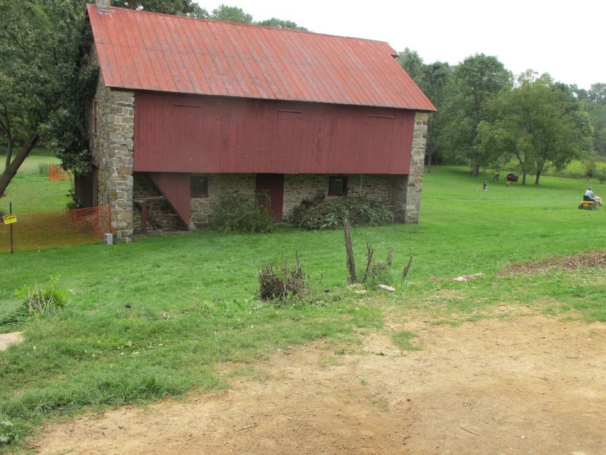
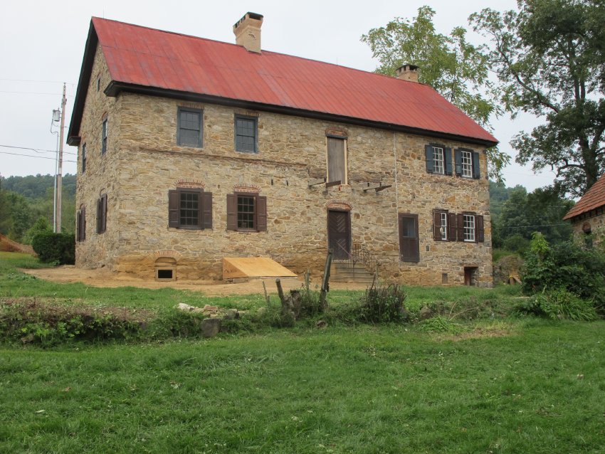
The 1753 grade at the foundation, raised with clay over-fill to accommodate the elevation objectives for the house, would produce a consistent slope from the house to the present barn-yard area to the south and through the barn site to the pond and the early cultivated fields beyond [this continuous grade is approximated after removal of the shrubbery, weeds, and rusted fence on 9/3/11; see Images #5 & #6, photo #5857 & #5860].
An alternative hypothesis suggests that Jacob Keim and his builders determined that the pre-occupancy grade (as defined by the dark soil layer sandwiched by thick beds of clay) was not well suited to the elevation objectives for situating the 1753 house on its banked site. They undoubtedly considered the optimum distances (vertical and horizontal) to the generously flowing spring east of the house, and perceived other functional advantages of the higher grade contours in working a prospering family farm and its ancillary activities.
Once the desired grades and slopes were established, local clay (widely utilized in Oley Valley construction practice as a water barrier and drainage plane) was probably filled in over the pre-construction topsoil. This topography probably remained in place until the 1920s re-grading for the recently removed porch, and subsequently the re-excavation for the reconstructed cellar-way.
Future archaeological investigation of the content and range of the sub-grade "topsoil" layer and the materials above and below it could confirm, modify, or question this hypothesis. If confirmed, preservation of the grade aligned to coincide with the top of the foundation plinth, retaining the 1753 clay over-fill and extant slopes, would be consistent with the principle advocating restoration of an historic site to conditions established within its "period of significance," in this case the span between completion of Jacob Keim’s farmhouse in 1753 and the erection of the eastward extension of the house c.1800-1810.
Submitted: Laurence Ward, August 2011; updated February, 2021
DETAILED CAPTIONS:
Image #1, photo 4943: Dark "topsoil" band between thick clay layers east of 1753 cellar entryway.
Image #2, photo 5158: perspective detail of 4943.
Image#3, photo 4942: sub-grade topsoil layer west of cellar entry.
Image #4, photo 4858: perspective detail of 4942.
Image #5, photo 5857: grade south of house to barnyard, after removal of rusted c. 1940s fencing and invasive vegetation.
Image #6, 5860: grade south of house from barnyard.
Catalog details
- Catalog number
- 1002.01.088
- Alternate number
- KHPH20
- Accession number
- 1002.01
- Date
- 08/02/2011
- Creator
- Ward, Laurence
- Object name
- Print, Photographic
- Record type
- Standard
- Classification
- Documentary Artifact