Description
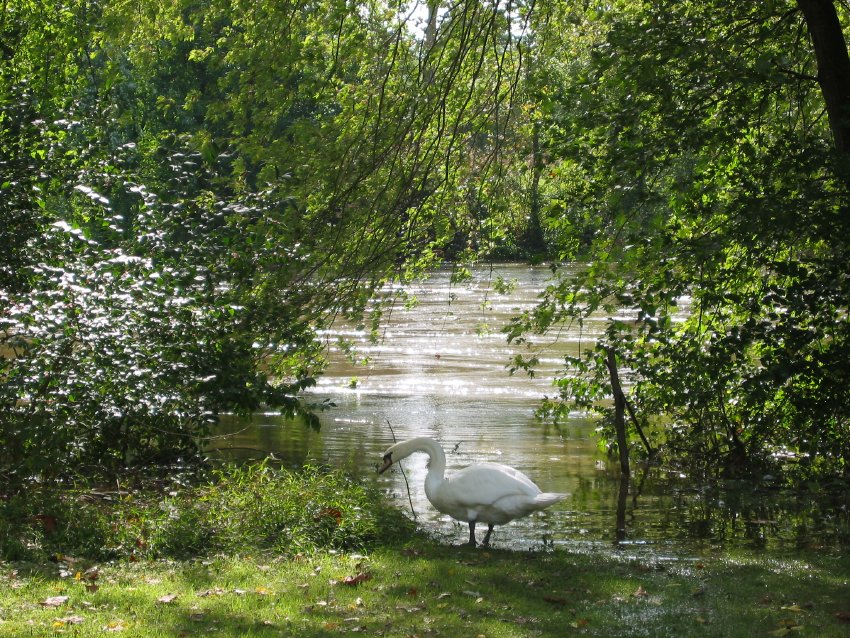
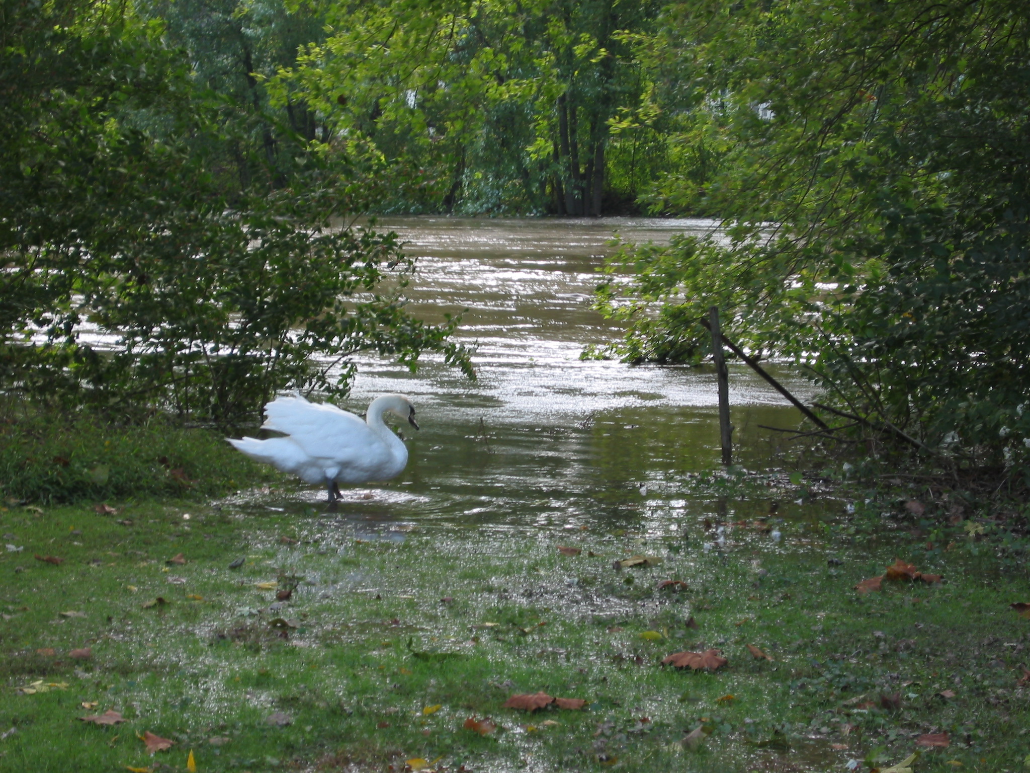
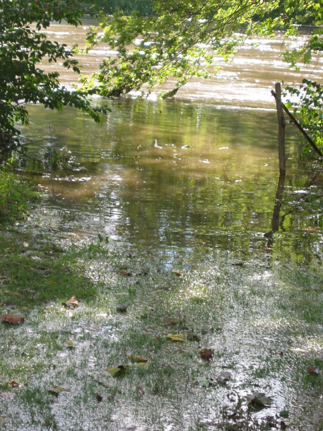
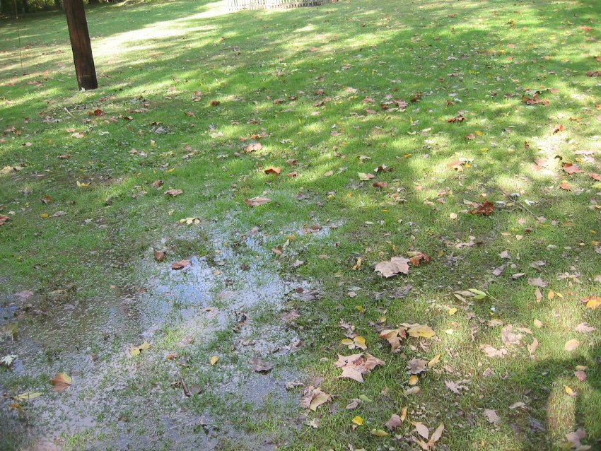
Series of four color digital photographs showing water levels after heavy rainfall on September 30 & October 1, 2010. From mid-morning on September 30, 2010 through mid-morning October 1st, six inches of rain fell in the Schuylkill River channel at Pottstown, PA, as measured at the United States Geological Survey (USGS) Station located 75 feet upstream from the Hanover Street Bridge and 3/10 of a mile downstream from the river's confluence with the Manatawny Creek. High levels of rain of similar orders of magnitude fell into the watershed and tributaries of the Schuylkill upstream from Pottstown during the same 24-hour period. An additional half-inch fell on Monday, October 4th.
The corresponding river depths and flow-volumes were as follows: (River depth--Flow in Cubic Feet per Second [CFS])
Average Sept 27 to early Sep 30 = 2 feet--400 CFS
Mid-morning Oct 1 = 12.2 feet--20,000 CFS
Early October 4 = 3.5 feet --2,500 CFS
Flood stage [Post Blue-Marsh Lake] = 13 feet--25,000 CFS +/-
According to the USGS website, the maximum river depth ["stage"] known prior to October 1926 was 21.0 feet{m} on Feb. 28, 1902, determined from floodmarks; the contemporary discharge was 53,900 CFS, over 2.5 times the flow-volume of October 1, 2010. The February 1902 "100-year" flood [just a month after the visit and photo of the Mouns Jones House reported in the essay cited in photo record MJHPH65--1000.01.070] was about 30%{n} lower than the "Agnes" levels and volumes of June, 1972, but both must have been quite devastating to the buildings and infrastructure along the Schuylkill river.
{m} The USGS data ignores the floods of 1786, 1850, and 1869; see data recorded below.
{n} River depths and flood stages are historically calibrated based on water depth from the river bed, but some data refer to the level above "low-water," which has been estimated as 12 inches in some records pertaining to the Schuylkill River in the span between the Monocacy and Manatawny creek confluences. Therefore the margin of error among all this data is greater than 12 inches, since the elevation of the river bed has not been constant over the past two and one-half centuries.
"Freshets" and other floods are reported in Montgomery, Morton, History of Berks County in Pennsylvania, at pages 429-432, noting the river depth at Reading [from" low-water mark". Assuming the depths at Morlatton were approximately the same as at Reading] and the approximate depth of the water at the Mouns Jones House, and assuming the same elevations from the river bed as today, and that the river "spread" is the same. The latter is a dubious assumption because of the "levee" effect of the raised embankment constructed in the 1920s or 1930s for the bed of State Route 724. This raised bank on the Union Township side makes it quite probable that the pre-Route 724 levels on the Morlatton side of the river were two or three feet lower than after that project was completed [post-1869 flood levels are based on USGS historical data and contemporary news accounts]:
July 15, 1757: 15 ft…… 2 ft.
Fall, 1786 21.5 ft……8.5 ft. [the "Pumpkin Freshet"]:
Jan 25, 1839: 18 ft…… 5 ft.
Jan 6, 1841: 20 ft…… 7 ft.
Sept. 2, 1850: 27 ft…… 14 ft.
June 5, 1862: 19 ft.…… 6 ft.
Oct. 4, 1869: 24 ft…… 11 ft.
Feb 28, 1902: 22 ft.…… 9 ft.
Aug 19, 1955: 18 ft…… 5 ft.
June, 1972 ["Agnes"]: 30 ft…… 17 ft.
Sept., 2011: 18-19 ft…… 6 ft.
Minor floods, rising 2 to 4 ft up the walls of the house occurred in Feb, 1822, Sept, 1987, Sept, 1999, Sept, 2004, Oct, 2005,
The photos in this record show the river above its banks adjacent to Mouns Jones' House and the Bridge Keeper's House in the early afternoon of October 1, 2010 but still about two feet below the level which would have reached the building foundations at grade against their west eaves walls.
In image #3 the small wooden post [upper-right] marks the top of the river-bank.
Image #4 shows "high tide" on the grass area between the top of the bank and the utility pole closest to it.
The swan in images #2 and #3 stands at the approximate center-line of the approach-ramp to the covered bridge which spanned the river from 1832 until 1951 or 1952 [see MVPH1--1003.01.002].
Catalog details
- Catalog number
- 1003.01.052
- Alternate number
- MVPH47
- Accession number
- 1003.01
- Date
- 10/01/2010
- Creator
- Ward, Laurence
- Object name
- Print, Photographic
- Record type
- Standard
- Classification
- Documentary Artifact