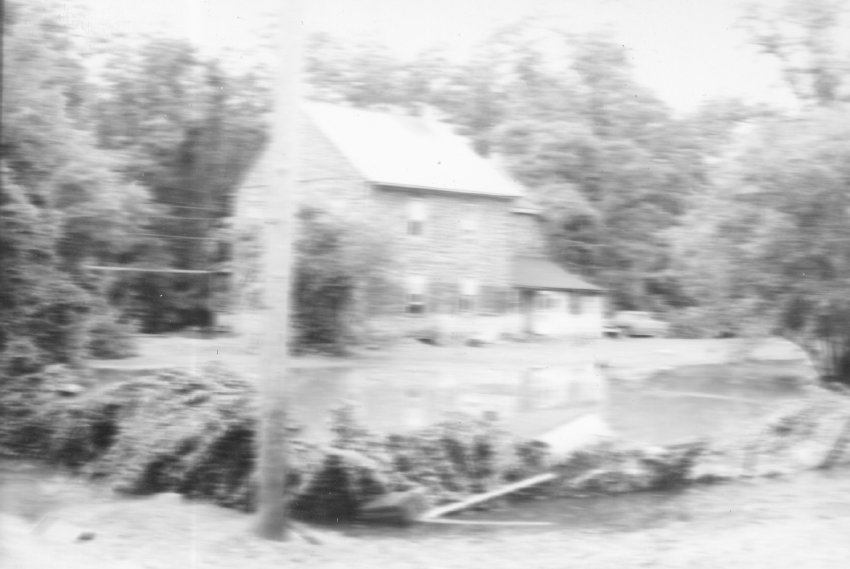
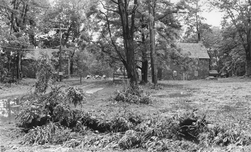
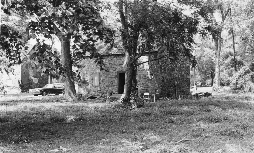
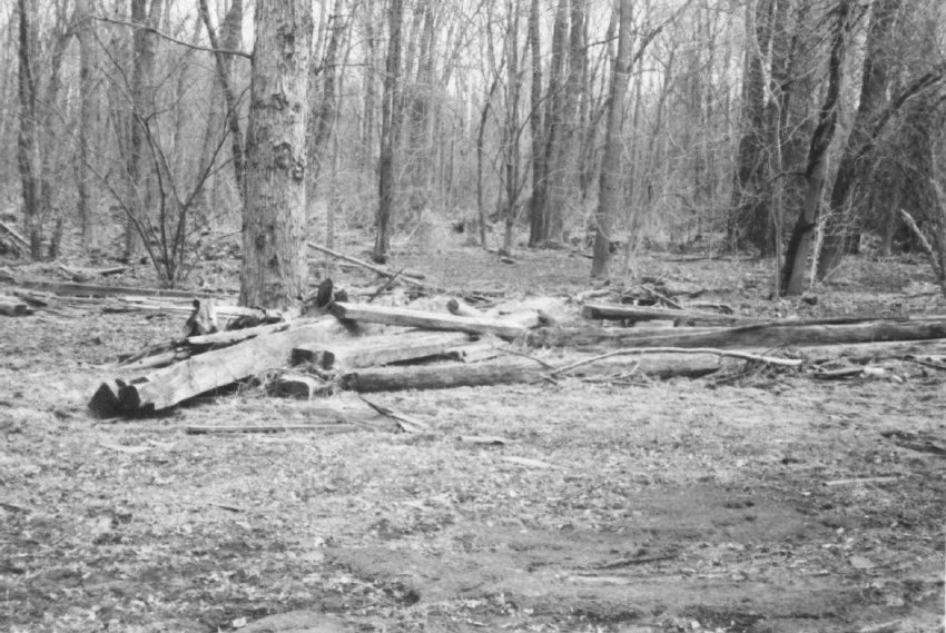
Black & white photographic print showing aftermath of flooding from hurricane Agnes in 1972. Image depicts area behind White Horse Tavern.
Note written in blue pen on verso reads, "BACK OF WHITE HORSE TAVERN AFTER AGNES FLOOD 1972"
See MVPH4 thru MVPH24--1003.01.009 thru 1003.01.029 for additional images of hurricane Agnes flooding.
Black & white photographic print showing aftermath of flooding from hurricane Agnes in 1972. Image depicts area ?????.
Note written in blue pen on verso reads, "REMOVING DEBRIS AFTER FLOOD"
See MVPH4 thru MVPH24--1003.01.009 thru 1003.01.029 for additional images of hurricane Agnes flooding.
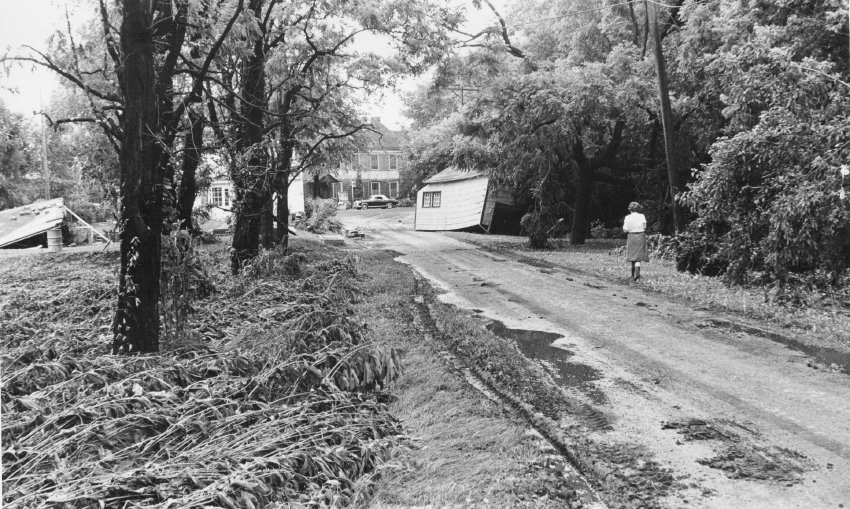
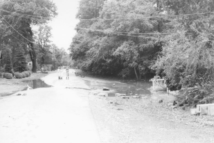
Black & white photographic print showing aftermath of flooding from hurricane Agnes in 1972. Image depicts area along Mouns Jones Lane with George Douglass house in background (center of photo).
See additional image for note written in blue pen on verso.
See MVPH4 thru MVPH24--1003.01.009 thru 1003.01.029 for additional images of hurricane Agnes flooding.
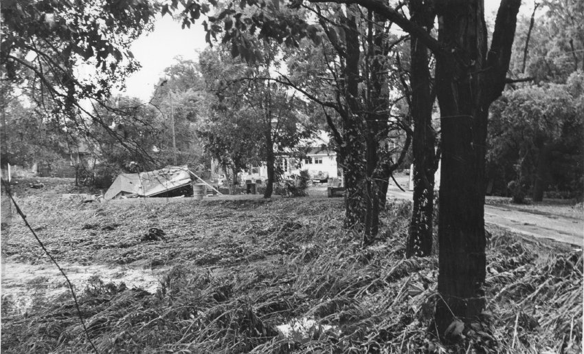
Black & white photographic print showing aftermath of flooding from hurricane Agnes in 1972. Image depicts area along Mouns Jones Lane with George Douglass house in background (center of photo).
Note written in blue pen on verso reads, "MUD AGNES 1972"
See MVPH4 thru MVPH24--1003.01.009 thru 1003.01.029 for additional images of hurricane Agnes flooding.
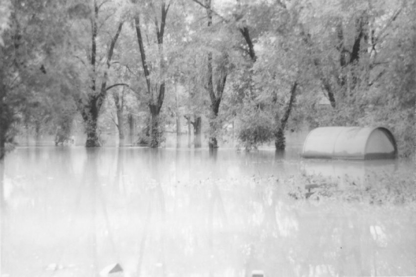
Black & white photographic print showing aftermath of flooding from hurricane Agnes in 1972. Image depicts area along the Schuylkill River west of the Mouns Jones house.
Note written in red pen on verso reads, "Schuylkill River in front of Mouns Jones Hse"
See MVPH4 thru MVPH24--1003.01.009 thru 1003.01.029 for additional images of hurricane Agnes flooding.
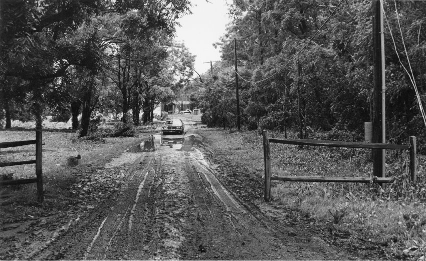
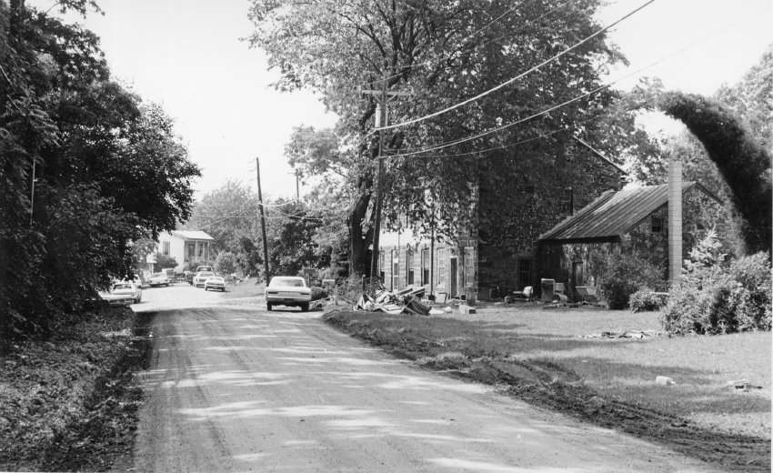
Black & white photographic print showing aftermath of flooding from hurricane Agnes in 1972. Image depicts area along Mouns Jones Lane looking toward Mouns Jones house (right of photo) and Bridge Keeper's House (left of photo).
Note written in blue pen on verso reads, "MUD AND DEBRIS AFTER 1972 FLOOD"
Note written in red pen on verso reads, "MOUNS JONES HSE 1972"
See MVPH4 thru MVPH24--1003.01.009 thru 1003.01.029 for additional images of hurricane Agnes flooding.
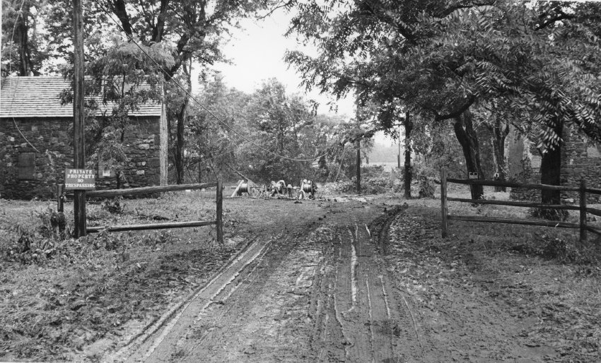
Black & white photographic print showing aftermath of flooding from hurricane Agnes in 1972. Image depicts area along Mouns Jones Lane looking toward Mouns Jones house (right of photo) and Bridge Keeper's House (left of photo).
Note written in blue pen on verso reads, "MUD -- GATES FLOATED AWAY MET ED REPAIR CREW 1972"
See MVPH4 thru MVPH24--1003.01.009 thru 1003.01.029 for additional images of hurricane Agnes flooding.
Black & white photographic print showing aftermath of flooding from hurricane Agnes in 1972. Image depicts area along Mouns Jones Lane looking toward George Douglass House from Mouns Jones House.
See additional image for note written in blue pen on verso.
See MVPH4 thru MVPH24--1003.01.009 thru 1003.01.029 for additional images of hurricane Agnes flooding.
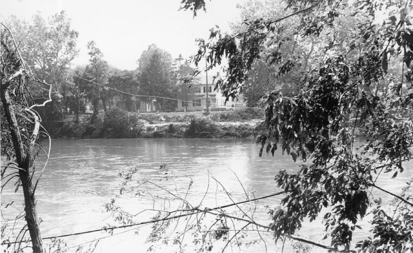
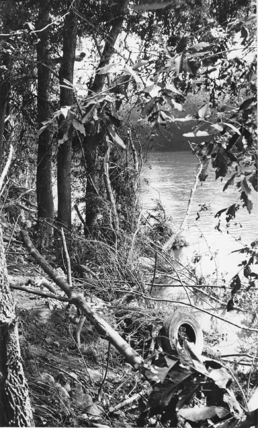
Black & white photographic print showing aftermath of flooding from hurricane Agnes in 1972. Image depicts conditions along the Schuykill River.
Note written in blue pen on verso reads, "SCHUYLKILL RIVER AFTER FLOOD OF 1972"
See MVPH4 thru MVPH24--1003.01.009 thru 1003.01.029 for additional images of hurricane Agnes flooding.
Black & white photographic print showing aftermath of flooding from hurricane Agnes in 1972. Image depicts southwest perspective view of Mouns Jones House (left) & Bridge Keeper’s House (right). The “Bridge Keeper’s House”, now re-named the “Michael Fulp House” in recognition of its first owner/occupant, in the center of the photo is identified by the cellar entry under the window and the door location in the right [southern] bay. Segments of the masonry walls, chimneys, roofs [both are complete replacements] and window framing of both buildings have been restored, replaced, or reconstructed in preservation campaigns during the past half-century [to 2015].
Note written in blue pen on verso reads, "STARTING THE CLEANUP"
See MVPH4 thru MVPH24--1003.01.009 thru 1003.01.029 for additional images of hurricane Agnes flooding.
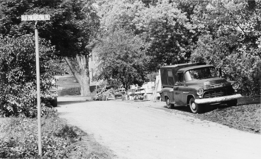
Black & white photographic print showing what is assumed to be aftermath of flooding from hurricane Agnes in 1972. Image depicts area looking along Old Philadelphia Pike with the George Douglass House on the right.
Note on verso in blue pen reads "GEORGE DOUGLASS HOUSE ALL APPLIANCES AND FURNITURE LOST"
See MVPH4 thru MVPH24--1003.01.009 thru 1003.01.029 for additional images of hurricane Agnes flooding.
Black & white photographic print showing aftermath of flooding from hurricane Agnes in 1972. Image depicts area looking toward mouns Jones House from the George Douglass House.
Note on verso in blue pen reads "LOOKING FROM GEORGE DOUGLASS HOUSE TOWARDS MOUNS JONE HSE AFTER FLOOD 1972"
See MVPH4 thru MVPH24--1003.01.009 thru 1003.01.029 for additional images of hurricane Agnes flooding.
Black & white photographic print showing aftermath of flooding from hurricane Agnes in 1972. Image depicts area looking toward mouns Jones House from the George Douglass House.
Note on verso in blue pen reads "1972 AGNES FLOOD LOOKING FROM MOUNS JONES HSE TO DOUGLASSVILLE"
See MVPH4 thru MVPH24--1003.01.009 thru 1003.01.029 for additional images of hurricane Agnes flooding.
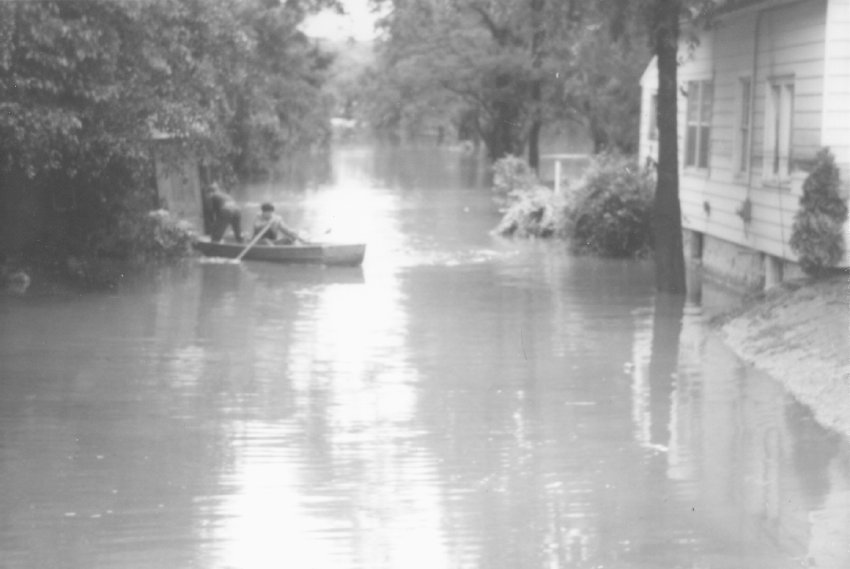
Black & white photographic print showing aftermath of flooding from hurricane Agnes in 1972. Image depicts area just north of Mouns Jones House.
Note on verso in blue pen reads "Agnes 1972"
Note on verso in red pen reads "Flood picture just north of Mouns Jone Hse"
See MVPH4 thru MVPH24--1003.01.009 thru 1003.01.029 for additional images of hurricane Agnes flooding.
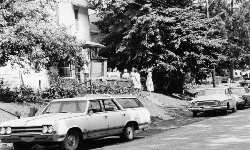
Black & white photographic print showing group of unidentified Mennonite women who helped provide relief to Douglassville victims of flooding from hurricane Agnes in 1972. Image depicts area near St. Gabriel's episcopal Church.
See additional image for note written on verso.
See MVPH4 thru MVPH24--1003.01.009 thru 1003.01.029 for additional images related to hurricane Agnes flooding.
Black & white photographic print showing aftermath of flooding from hurricane Agnes in 1972. Image depicts area surrounding Mouns Jones House.
Note on verso in black pen reads "Agnes 1972 Flood Mouns Jones Hse"
See MVPH4 thru MVPH24--1003.01.009 thru 1003.01.029 for additional images of hurricane Agnes flooding.
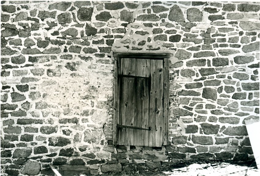
Digital image of original photograph taken by Steve Kindig. Image shows exterior view of door and hardware in the west masonry wall at upper (first floor) ground level. The oak lintle and tops of jambs of the cellar kitchen window are seen along the lower left edge. Brick infill between door jambs and masonry indicates later period of doorway (19th century).
See discussion to DTHPH1--1001.01.021 regarding the 19th-century addition accessed through this door.
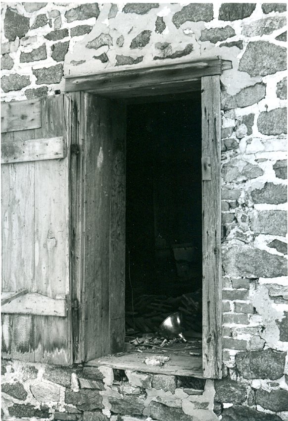
Digital image of original photograph taken by Steve Kindig. Image shows former doorway through west masonry wall providing access between first floor and 19th-century kitchen addition (removed). Brick infill between door jambs and stone masonry indicates later period of doorway (19th century)
See DTHPH1--1001.01.021 for discussion of the removed addition.
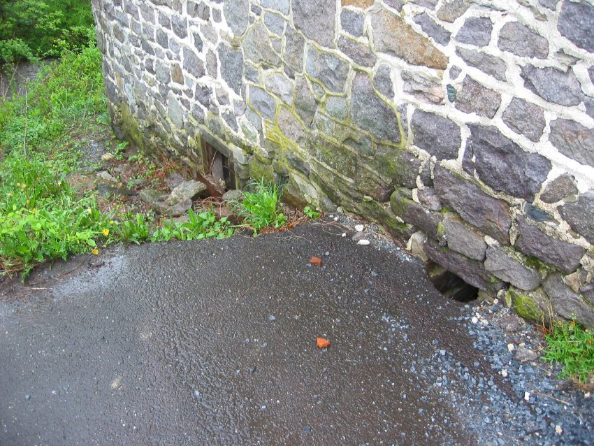
Digital photographic print showing hole along western grade and elevation, allowing inflow to cellar kitchen of surface drainage from long macadam driveway.
Image depicts conditions existing immediately prior to and necessitating the 2009 restoration of building.
This is a low resolution image.
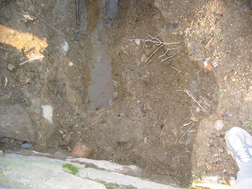
Excavation to a depth of approximately 15 inches uncovered the 1970s terra cotta drain pipe outlet exterior to the north wall near the northeast corner of the kitchen wall. This drain was set too high above the water table range and did little to reduce either the volume of water saturating mortar joints and wooden elements of the doorway or the duration of the contact of those elements with water.
A mortared aggregation of stones against the foundation is seen above and below the drain pipe in the left third of the photo. This was possibly a retaining wall, a revetment against creek incursion, or a buttress providing lateral support for the un-banked north gable wall.
Laurence Ward, 2009
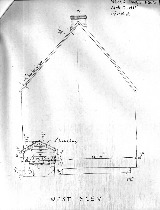
Elevation drawings based on Field Notes drawings, accompanying notes of surveyor-draftsman, scaled drawing from field notes drawings
Description: Series of 8 sheets of dimensioned and annotated pencil drawings accompanied by an unfiled Architectural Data Form, and one sheet of scaled drawings based on the Field Notes drawings, all prepared by Barry K. Stover in the Historic American Buildings Survey (HABS) format. Form and drawings were prepared in order to record the survey and measurement of the building and its components and to update existing HABS information already on file at the Library of Congress in Washington, D.C.
These drawings and the accompanying dimensions and other data and notes record the conditions existing on the dates of the sheets. Potentially important information for restoration programs and specifications includes window framing detail{1}.
Sheet 9 contains measurements only for the attic window, roof, distance between first and second floor as well as between second floor and attic.
Sheet 10 contains information about the house's restoration history gathered by Stover during an interview with Theresa Beard, one of the founders of the Trust, former Trust President and long-time Board member.
Please note that sheets 1, 3, 4, and the sheet of dimensioned elevation drawings were included in the "Atlas of Architectural Drawings" published in Morlatton by the Historic Preservation Trust of Berks County in 2008. See MJHTX7---1000.01.096 for the data sheet created by Barry Stover to accompany these drawings.
See MJHTX7---1000.01.096 for the data sheet created by Barry Stover to accompany these drawings. FOOTNOTE {1} For example, sheet 7 contains the note "replaced or pieced sill" relative to the "center window north [sic, east] side," possibly suggesting that the "head" [lintel] and two timber jambs of the frame are original or quite early. The sawn rabbets [in these Field Notes called "rebates" as in English nomenclature, which sometimes appeared in the southern tier of mid-Atlantic colonies as "rabit"] which receive the sash and shutter [or leaded casements if rabbet detail interpreted as compatible only for leaded casements is corroborated by additional evidence].
Sheet 8 bears a note in the lower left corner "Old frame, new sill, No rebate inside…" These notes will be carefully compared with the photographic history(a) regarding the forms, alignment, and details of the windows and their frames.
(a) For example, see photo MJHPH60--1000.01.065, Image #3, which seems to show that the three second story window frames on this east elevation were in vertical alignment for hung-sash windows, not horizontal casement frames as existed in the east eaves wall when Barry Stover surveyed the house and rendered his field notes pencil drawings in the mid-1980s.
Laurence Ward, March, 2016
Booklet, "A Day in the Oley Valley" 1967, 12 pages.
Sponsored by the Woman's Club of Oley. The De Turk House is featured in this annual tour of historic sites.
The cover further pronounces "Commemorating the 200th anniversary of the DeTurk House" and "Benefit of the DeTurk Restoration
Fund, Historic Preservation Trust of Berks county."
A drive-around tour is mapped, with 31 possible historic site stops: De Turk House is the first, described on page 2.
Only the cover and page 2 are presented as images here. A single image of cover and page 2 combined, suitable for printing on 8.5x11
landscape is available under MULTIMEDIA LINKS.
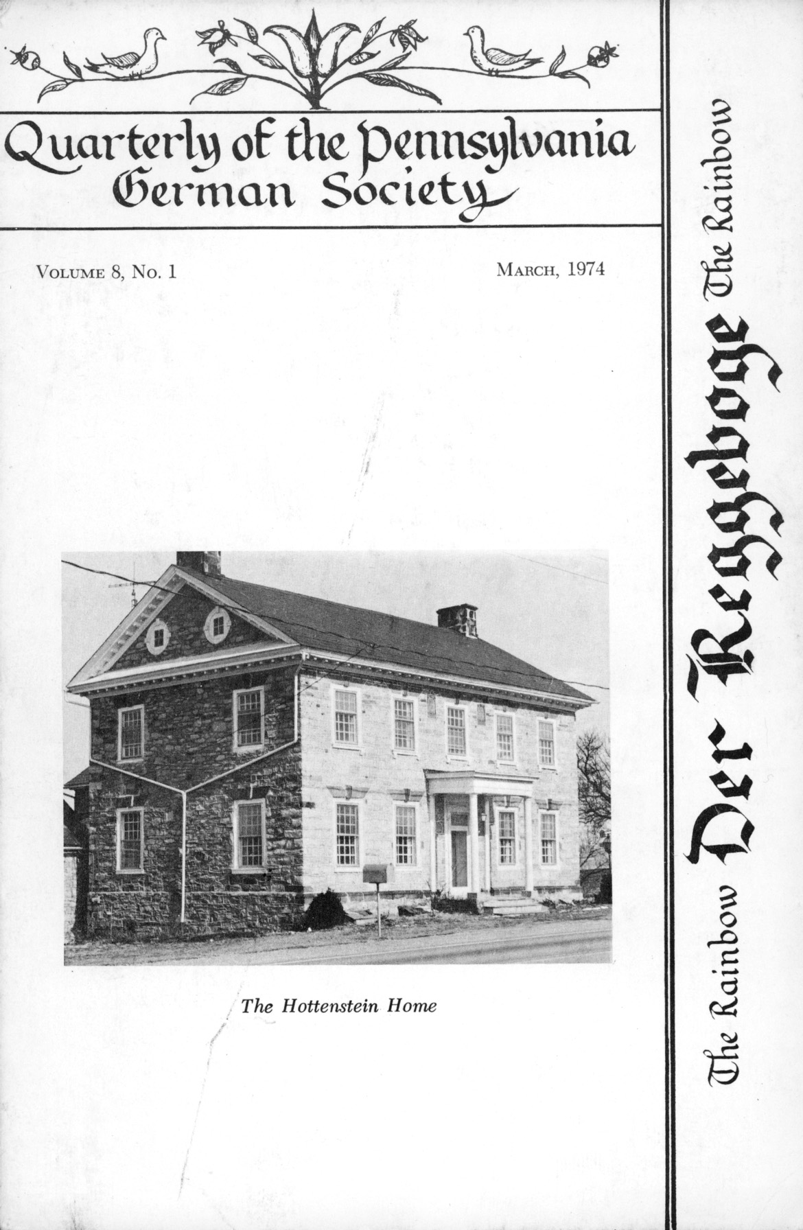
A Visit at the Hottensteins, Cover photo and pages 1-3 article in "Der Reggeboge" (The Rainbow), Quarterly of the Pennsylvania German Society, Vol. 8, No. 1, March 1974. Contains 10 Halftone images, interior and exterior, with details, from photographs, with captions. Cover photo shows Victorian porch before 1980s restoration.
View additional images or Multimedia Links for the full article.