Subject

map

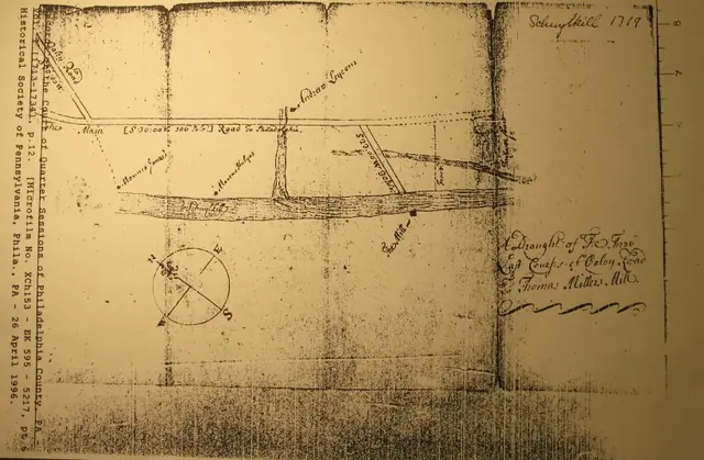
(Copy of Microfilm) "Schuylkill 1719," indicating structure locations
Archives 1003.01.10

“A Draught of The Three Last Courses of Oaley [sic] Road To Thomas Miller’s [Sic, Millard’s] Mill”

Morlatton · 1719

A copy from MICROFILM, by The Historical Society of Pennsylvania: A 1719 map entitled “A Draught of The Three Last Courses of Oaley [sic] Road To Thomas Miller’s [Sic, Millard’s] Mill”, from the public records of the Court of Quarter Sessions of Philadelphia County. This survery “Draught” provides an abundance of historical and topographical det

View record
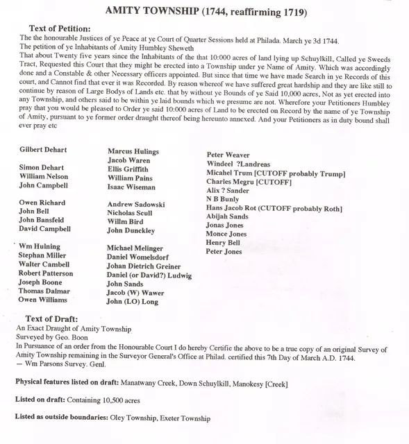
Morlatton Village, transcript of Amity Township Petition, image #1 (1744)
Archives 1003.01.061

Transcript of 1744 Petition to create Amity Townwship and survey map; also plot plan and survey “draught” of Swedes’ Tract

Morlatton · 03/03/1744; plot plans undated

Series of six digital images: a transcript of the second Petition [the first one was described as “lost”] to establish Amity Township, the accompanying survey drawing. Image #3 and #4 show the original approximately 10,000 acre Penn Grant of the “Swedes Tract” to the Swedish Lutheran Pastor Andreas Rudman, to be divided into parcels for conveyance [by “warra

View record
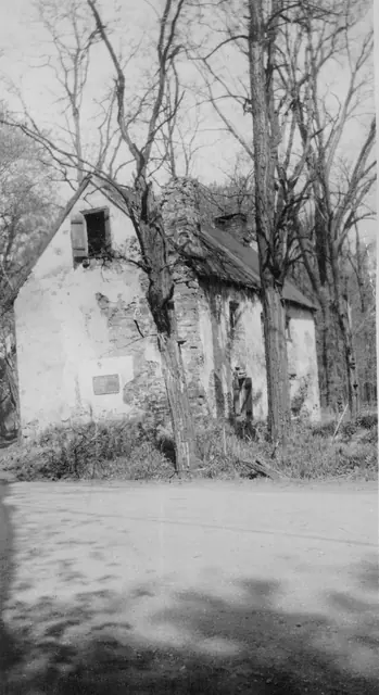
Mouns Jones House, southeast perspective view, image #1 (c.1946-47)
Photos 1000.01.065

Two southeast perspective views

Mouns Jones · c.1948-1950

Three black and white photographic prints (two showing southeastern perspective views and one southwest perspective view), of the Mouns Jones House in the 1940s, before its partial collapse prior to 1958; a photo of notes on the verso of Image #1; one color photo of subgrade masonry on the river-side of the house; a map of the “Philadelphia Trading Area”; an

View record